An Earth-observation satellite developed by the Indian Space Research Organization (ISRO) and the National Aeronautics and Space Administration (NASA) received a farewell ceremony on Friday, February 3, at the American space agency’s Jet Propulsion Laboratory (JPL) in Southern California.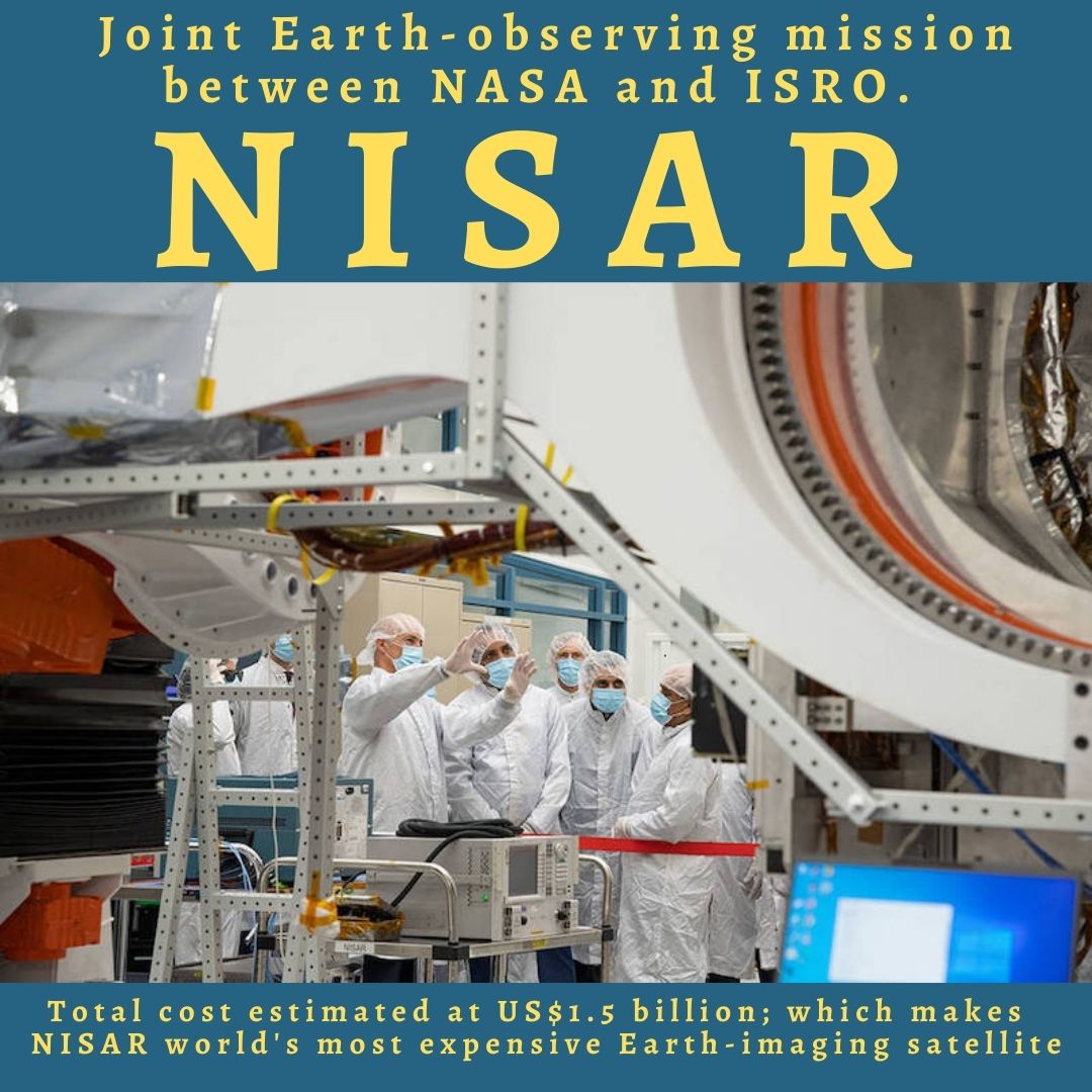 Later this month, a special cargo container flight will transport the SUV-sized satellite to India for a possible launch in 2024 from the Satish Dhawan Space Centre in Andhra Pradesh.In accordance with a partnership agreement that was signed in 2014, the US and Indian space agencies constructed NISAR. The 2,800 kilogram satellite is a dual-frequency imaging radar satellite because it has S-band and L-band synthetic aperture radar (SAR) instruments.
ISRO provided the S-band radar, the GSLV launch system, and the spacecraft, while NASA provided the L-band radar, GPS, a high-capacity solid-state recorder for data storage, and a payload data subsystem.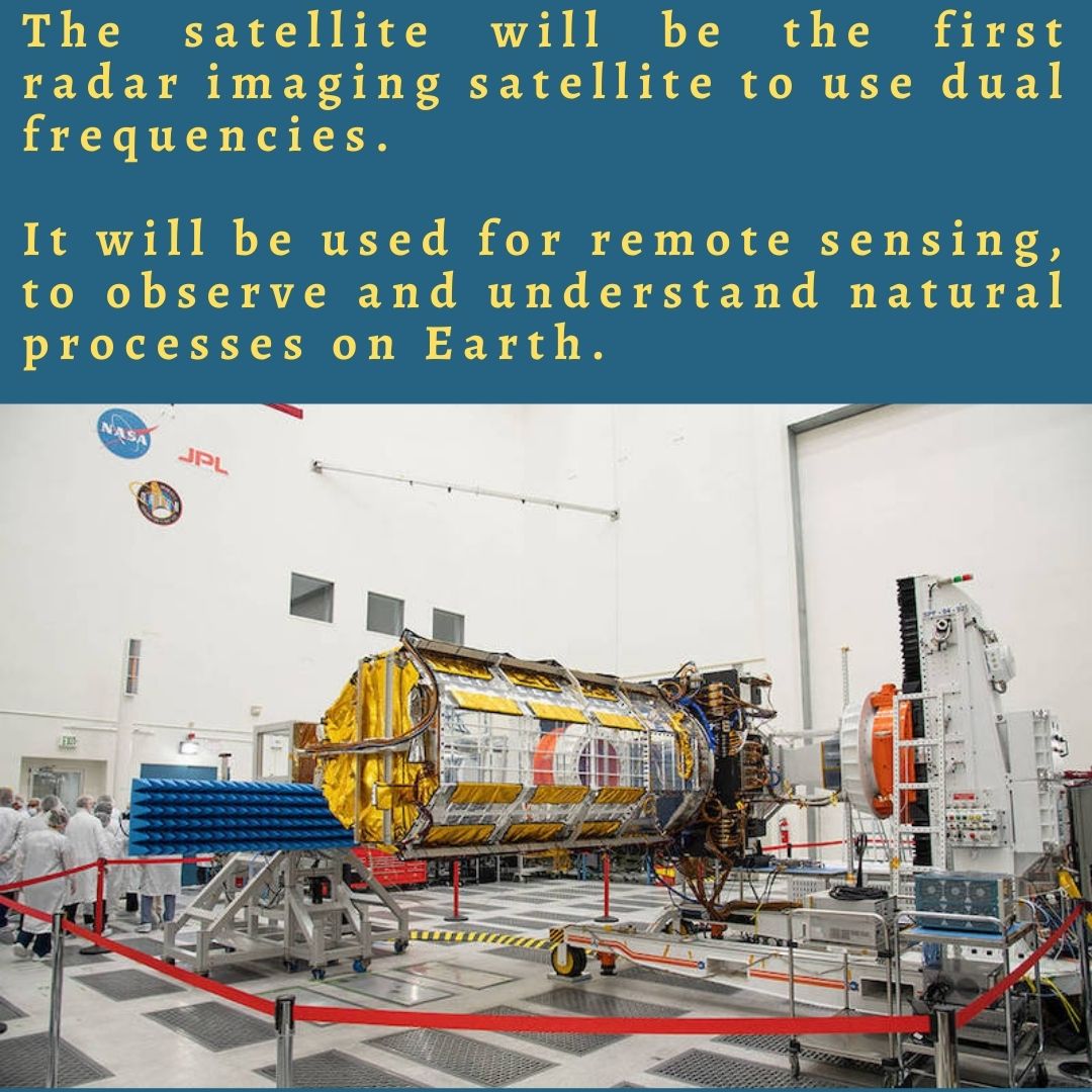 The satellite’s massive stationary antenna reflector, which measures 39 feet in length, is yet another important part. The reflector, which NASA claims is made of gold-plated wire mesh, will be used to focus “the radar signals emitted and received by the upward-facing feed on the instrument structure.”
NISAR, once launched into space, will observe minute alterations in Earth’s surfaces, assisting researchers in better comprehending the underlying causes and effects of such phenomena. It will detect warning signs of natural disasters like earthquakes, landslides, and volcanic eruptions. In addition, the satellite will monitor the planet’s forest and agricultural regions, track the flow rates of glaciers and ice sheets, and measure groundwater levels, all of which can enhance our comprehension of carbon exchange. NISAR will be used by ISRO for a variety of tasks, including mapping agricultural areas, keeping an eye on glaciers in the Himalayas, areas that are prone to landslides, and changes in the coastline. NISAR will use synthetic aperture radar (SAR) to make images with a high resolution. SAR can collect data throughout the day and night, regardless of the weather, and it can penetrate clouds.
The partnership satellite of NASA and ISRO is on its way to India: What is NISAR and what does it do?


